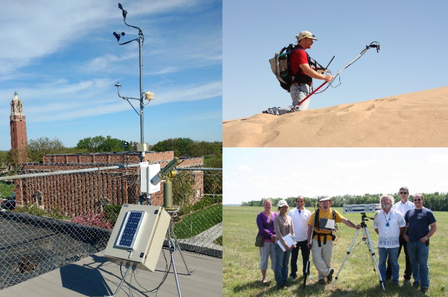
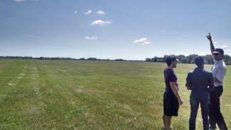
Clockwise from the left: Cimel sun photometer and meteorological station on top of Crothers Engineering Hall, Larry Leigh measuring reflectance of Algodones sand dune, Image Processing Lab staff at the Brookings test site.
The Image Processing Laboratory does research on Earth observing satellites with respect to radiometric, geometric and spatial characterization, correction, calibration and validation with the current focus being on the Landsat series of sensors.
Current Research
Landsat 8 Operational Land Imager (OLI) / Thermal Infrared Sensor (TIRS)
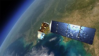
Landsat 8 Our lab group supports the calibration of Landsat 8 through analysis of onboard calibrator data and especially through the development of vicarious methodologies of calibration should the onboard calibration systems fail. This includes analysis of instrument bias, potential nonlinearity, and instrument performance, particularly with respect to relative gains of the more than 75,000 detectors that make up OLI. In addition, we perform vicarious calibration of the instrument using our SDSU field site and through the use of PICS test sits in the Sahara Desert.
Landsat 7 Enhanced Thematic Mapper
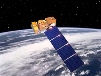
Landsat 7 The Landsat 7 Enhanced Thematic Mapper Plus has often been called the most stable sensor in space. Only one radiometric gain update has been applied to it since its launch in 1999. This was based on PICS data analysis performed by the IP Lab in conjunction with the NASA Goddard Space Flight Center. Our group continues to monitor instrument performance as part of the Landsat CalVal Team.
Calibration of the Landsat Archive
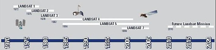
- Perhaps the most valuable part of the Landsat program is the fact that there is now a 45-year record of the Earth’s surface since the launch of Landsat 1 in 1972. Thus, it is imperative that the archive is calibrated in a consistent fashion. The SDSU IP Lab lead the effort to cross-calibrate the entire archive so that it is based upon and consistent with the reflectance-based calibration of Landsat 8 OLI. Data users can now be assured that the changes they see in their data from 1972 to the present represent changes on the ground and not changes in the instruments.
Vicarious Calibration
Staff and students at the Brookings vicarious calibration site One approach for absolute radiometric calibration is the "Vicarious Calibration Method." This involves the deployment of a field team to measure the radiance of a target with the end goal of propagating those measurements to Top of Atmosphere. This is done through a series of surface and atmospheric measurements which are then used as inputs to a radiative transfer simulation called MODTRAN. These predictions are then compared to the measurements made by the satellite in question, to evaluate the absolute calibration of the sensor. The SDSU IP Lab has a unique capability to use a darker, vegetative target that much more closely resembles the types of targets often used in applications of remote sensing; thus, users can have more confidence in the calibration of their data.
Pseudo-Invariant Calibration Sites
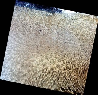
PICS site in Libya which enables radiometric calibration Long term stability monitoring of Earth remote sensing satellite sensors has become increasingly important due to the need for understanding global change over long periods of time. Remote sensing satellites can provide substantial insight into how the Earth has changed as far back as 1972 when Landsat 1 was launched. However, since that time, many sensors have been launched and an optimal understanding of global change can only be understood through the use of multiple sensor systems. In order to accomplish this, though, all sensors must be well calibrated and inter-comparisons of the sensors are necessary. One of the most promising approaches to accomplishing this is the use of sites around the globe which are stable over time and can provide a measure of the stability and/or change present in each sensor. Regions of the Earth’s surface which are subject to little change over time tend to be arid regions with little rainfall and vegetation. Additional qualifications include minimal cloud cover so they can be repeatedly accessed by visible and infrared sensors, and, to the extent possible, they should be at fairly high altitude in order to minimize atmospheric effects. Since no site can be completely stable over time, and must vary to some degree, the term pseudo-invariant calibration sites, or PICS, has been developed for these locations. The SDSU Image Processing Laboratory has been advancing the use of PICS for calibration of optical satellite systems through identification of PICS worldwide, through long term trending of satellite radiometric calibration using PICS, and through development of PICS for absolute radiometric calibration. SDSU has a set of six PICS in the Sahara desert that provide highly stable trending of satellite sensor calibration. These sites have been referenced to each other to form temporally dense data sets that can quickly establish the calibration of newly launched sensors. In addition, SDSU has an absolute calibration model for the well-known Libya 4 PICS which produces accurate results for most optical sensors to approximately 3%. SDSU is actively searching the globe for the most stable sites in existence with the goal of improving the uncertainties that occur when using this calibration approach.