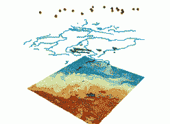
Geographers employ a number of techniques to collect, store, visualize, and interpret geospatial data that range from conducting field surveys and mapping census data to analyzing satellite imagery. Geospatial data are increasingly stored on computers and available interactively through the internet. SDSU geographers use Geographic Information Systems (GIS), aerial and satellite remote sensing, data derived from Global Positioning Systems (GPS), digital mapping, statistical techniques and cartography to develop models and monitor Earth changes.
Faculty and students conduct research in land cover dynamics, GIS-based surface flow modeling, and advanced mapping/geovisualization techniques. Training and research expertise in these techniques are central to our Geographic Information Sciences (GISc) undergraduate major and minor programs and an optional focus area within our Graduate program.